Monday, November 28, 2005
ALL-WinWin ... Eco-Futures Forum:
Biosphere Monitoring ... Forecasting
 Kansas "Biosphere Monitoring" Remote Sensing ... EcoTrekUSA-i4CQuest ...
As apprentice Eco-Futurists,
our MISSION is to stimulate new
Communities of Practice (CoP)
that visualize SUSTAINABLE alternative futures!
Palmeirim, J. 1987.
Automatic mapping
of avian species habitat
using satellite imagery. Oikos.
Vol. 52, No. 1, pp. 59- 68.
A GIS (Geographical Information System) was developed to test automated methods to produce maps of avian distribution and habitat suitability for several species in a mixed habitat area of Northeastern Kansas.
The Multispectral Scanner (MSS) from Landsat 4, and Thematic Mapper (TM) from Landsat 5 were used to capture digital images. This study used blue, green, red, reflected infrared, and thermal infrared images.
Landcover classifications were generated by TM imagery, and not only included 7 habitat types (mesic forest, xeric forest, rangeland, old field, bare ground, water, cropland), but also included spatial characteristics (i.e. minimal patch size, distance to edge).
Birds were censused in 1984 and 1985 in a variety of habitats by the circular point method, and the proportion of habitats in which they were observed was recorded. Map accuracy was high (96 - 98%) for all habitats except the rangeland (93%) and old field (75%) habitats (Which are hard to define; How old must it be to be old?)
There was usually a gradient between the rangeland and old field habitats.
Using the habitat data and the bird census data, the probability of encountering each species in different habitats was mapped. The spatial differences within the habitats were also mapped (Red-eyed vireos prefer mesic forest that is not near the edge, while White-breasted nuthatch prefers all forests).
Maps that represented species density were also produced, and rough population estimates were made. It was concluded that avian distribution maps can be produced by satellite imagery and GIS if habitat characteristics that are critical to the species can be detected by the imagery.
--------------------------------------------------
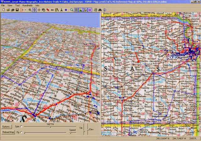
Great Plains Biogeography ... i4CQuest ::
Know Your Wilderness Inquiry Zones (WIZ) "Eco-Challenge" ...
What applied "Earth Science" disciplines now support
ETHICAL Environmental-Economics decision-making?
Protecting natural resources
interdisciplinary biosphere monitoring and research ...
[PDF] Comparisons of Land Cover
and LAI Estimates Derived from ETM+ ...
File Format: PDF/Adobe Acrobat - View as HTML
Kansas and was The focus of The FIFE study in The 1980s (Sellers et al. 1992).
... for Land Cover and LAI, Our remote sensing methods were empirical;
Labels: “Blog Action Day”, agritourism, distributed learning, eco-challenge, geotourism, social geocoding, social responsibility, watershed
Comments:
<< Home

TOPO! GPS Data Format Deg NAD83 ElevFeet Local-Time
TAOSPUEBLO,36.43863,-105.54446,7112,10/05/2007,07:37:27,TAOS PUEBLO (NE-NM)
NM9MILECRK,36.44943,-105.34017,9167,10/21/2007,09:38:36,
NINEMILENM,36.43059,-105.29056,8334,10/21/2007,09:38:35,NINEMILE CREEK
WHEELERPK,36.55669,-105.41695,13160,10/21/2007,09:38:48,
EAGLE NEST,36.55475,-105.26362,8203,08/29/2007,20:47:13,EAGLE NEST / THELMA
Post a Comment
TAOSPUEBLO,36.43863,-105.54446,7112,10/05/2007,07:37:27,TAOS PUEBLO (NE-NM)
NM9MILECRK,36.44943,-105.34017,9167,10/21/2007,09:38:36,
NINEMILENM,36.43059,-105.29056,8334,10/21/2007,09:38:35,NINEMILE CREEK
WHEELERPK,36.55669,-105.41695,13160,10/21/2007,09:38:48,
EAGLE NEST,36.55475,-105.26362,8203,08/29/2007,20:47:13,EAGLE NEST / THELMA
<< Home
![]()
![]()
